Sunday, July 30, 2006


An artist delight over Puget Sound viewed from Cypress Island, WA. Posted by Picasa

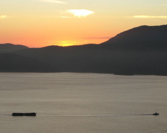
A lonely tugboat pulls an empty barge down Puget Sound, viewed from a top of Cypress Island. Posted by Picasa

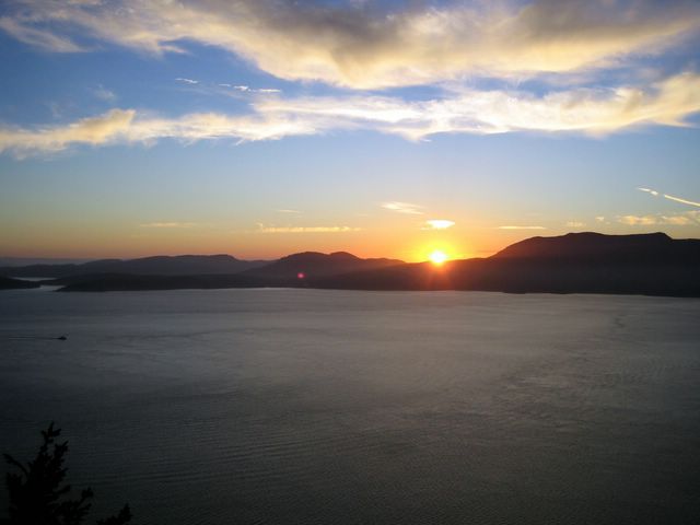
A sunset viewed from high upon Cypress Island, Puget Sound, WA. Posted by Picasa

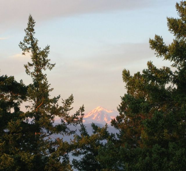
From a high look-out on top of Cypress Island and through the tall trees, we were able to clearly see Mt Baker some 70 miles to the east. Cypress Island, Puget Sound, WA. Posted by Picasa

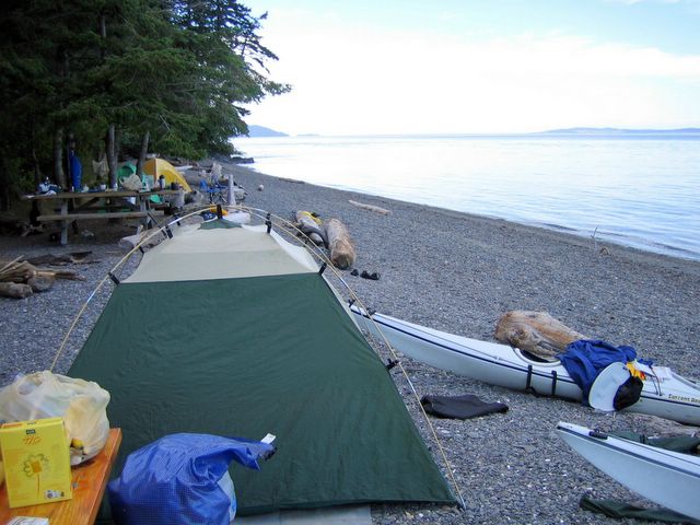
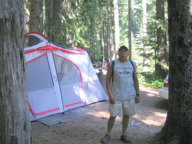
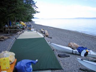
Two days after Pat Sheedy and I hiked Mt Rainer, we went kayaking on Puget Sound which is a two hour drive north of Redmond, WA. This is a camp site on Cypress Island in the Puget Sound. The camp site has about a half-of-dozen spots to camp at. For some reason, on this day, all the spots were taken. We got the last spot. Everything we used for camping, we packed into our kayaks. Cypress Island, Puget Sound, WA. Posted by Picasa

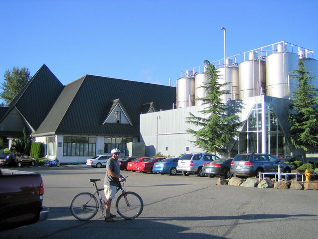
Me in the parking lot of Redhook Brewery some where near Redmond, WA. The brewery has a pub type atmosphere where one can get tap, cask tap, or bottle brew. The bike rack is filled with bikes belonging to many who bike on the nearby 23 mile long bike trail. Pat and I were victims of such a stat. WA. Posted by Picasa

Wednesday, July 26, 2006


Me at our camp site just before leaving to go hiking up to Glacier Basin. Mt. Rainier National Park, WA. Posted by Picasa

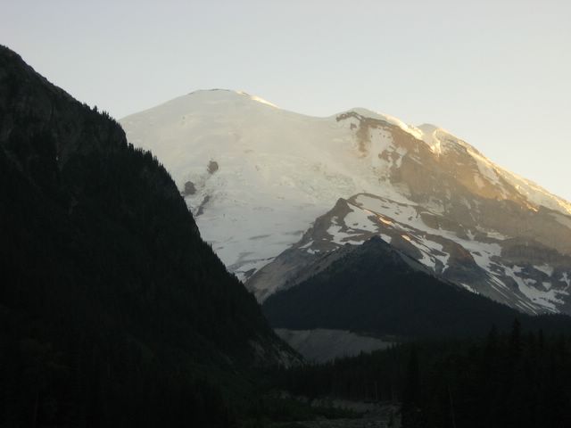
Emmons Glacier in the left of the photo.In the background is Mt. Rainier. On the way to get a closer look of the glacier, we encounter a pair of bear cubs. Needless to say, we were unable to get a closer look at Emmons Glacier. If you look closely at the base of the glacier you can see where the White River starts. Posted by Picasa

Sunset at Mt. Rainier viewed from the White River camp site. Mt Rainier National Park, WA. Posted by Picasa

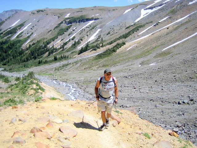
Me hiking up to St Elmo Pass from the Glacier Basin camp site. By this time, I was already very very tired, and yet, we ewre still climbing. Posted by Picasa

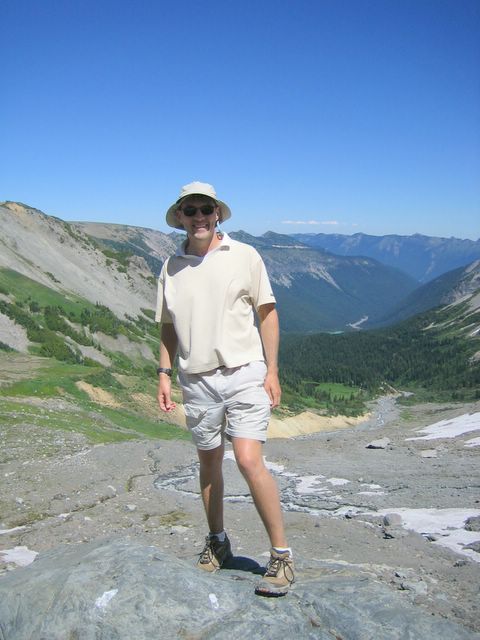
My friend Patrick Sheedy at the base of Inner Glacier. In the background is Glacier Basin. Mt. Rainier National Park, WA. Posted by Picasa

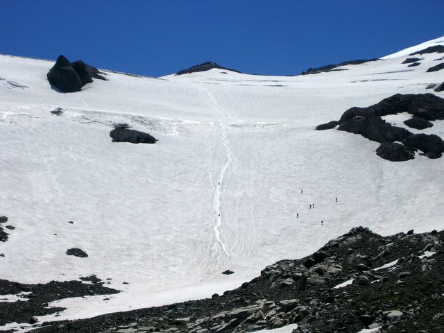
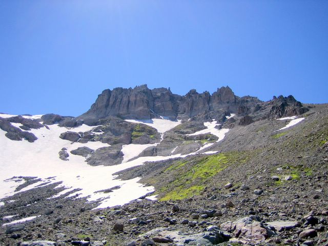
This is the view from the bottom of Inner Glacier. At the top is Steamboat Prow at 9702 feet above sea level. If you look closely, you can see 5 or 6 climbers walking on the ice in the middle right of the photo, and if you look even closer, you can see the two climbers sliding down from the top on what looks like a man-made slide in the middle of the photo. Mt Rainier National Park, WA. Posted by Picasa

Somewhere in this photo is St Elmo Pass some 8,000 feet above sea level. On the other side of the ridge is Winthrop Glacier and to the left in the photo is part of a smaller glacier called Inner Glacier which is also known as the Wedge. Mt. Rainier National Park, WA. Posted by Picasa

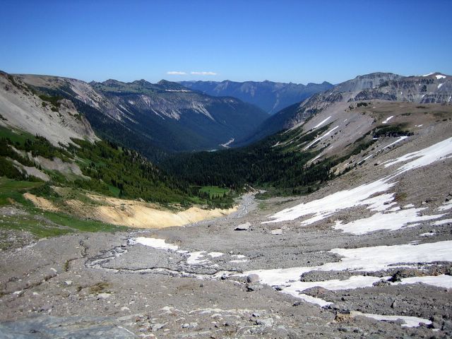
Glacier Basin viewed from the direction of St Elmo Pass at some 6000 feet above sea level. Our camp site is some 3 miles down in the valley in the distance. Mt. Rainier National Park, WA. Courtesy photo by Patrick Sheedy. Posted by Picasa

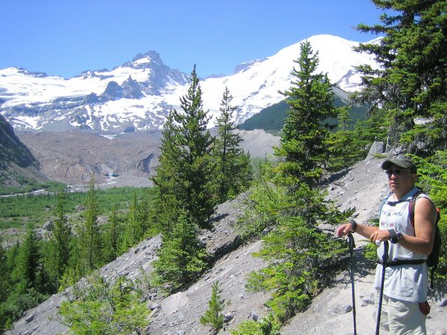
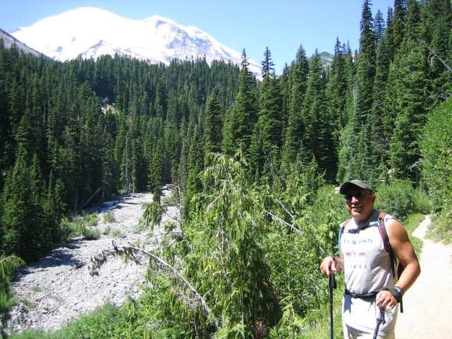
Me on the trail to Glacier Basin which is a 2 mile hike from our camp site. The trail goes through fairly dense forest with dozens of creeks with cool rushing water flowing down into the river to the left of me in the photo. In the background is Mt Rainier. Mt. Rainier National Park, WA. Posted by Picasa

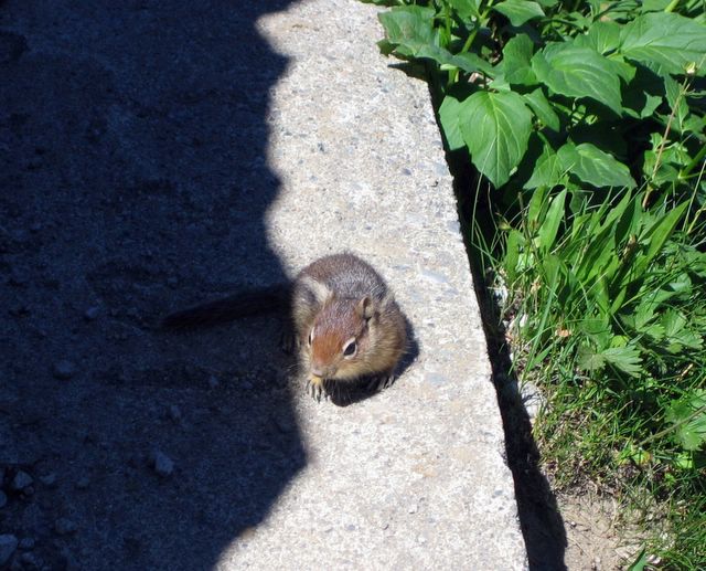
This cute little chickmuck is soaking up the sun 6,100 feet above sea level at the loop on the way to the Sunrise Visitor Center at Mount Rainier National Park, WA. Courtesy photo by Patrick Sheedy. Posted by Picasa

Thursday, July 13, 2006


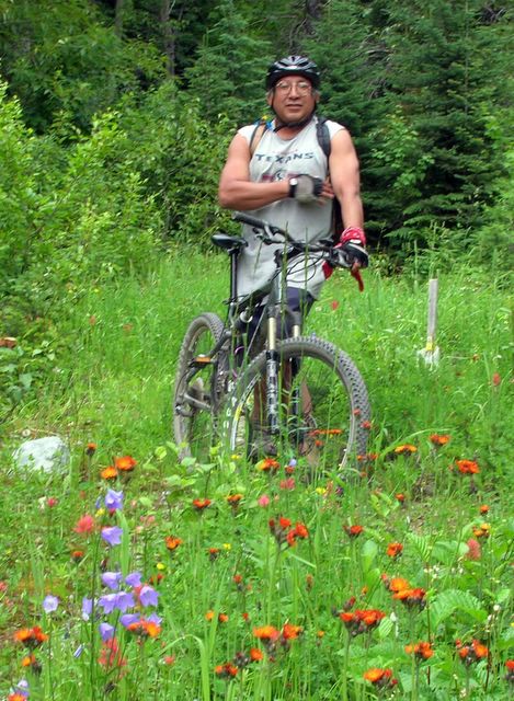
Me and my trusty steed "Silver" grazing in a mountain meadow some where between Big Mountain and Whitefish, MT. Posted by Picasa

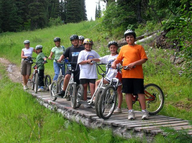
These two beautiful women with these band of youngster rented these weird contraptions and road down Big Mountain. There were a lot people on the trail this day going down the mountain. Big Mountain Resort, MT. Posted by Picasa

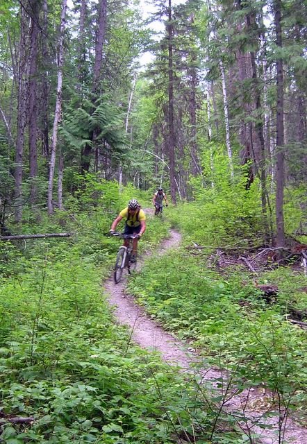
That's me in the back with Tom Muri in the front going down a single trail through the woods some where between Big Mountain and Whitefish. We road from the top of Big Mountain down to Whitefish which was more than 15 miles mostly downhill. Posted by Picasa

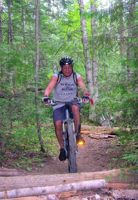
Me biking through the woods on a single trail some where between Big Mountain and Whitefish, MT. Posted by Picasa